ABOUT THE PROJECT
Thriving ECI is a media series exploring East Central Indiana, with an emphasis on the region's natural amenities, shared history, and unique architecture. While the communities across ECI share a common background and culture, we often don't consider what sets us apart within the Hoosier state. This project seeks to counteract this disregard by beautifully showcasing ECI's distinct features in shareable visual assets.
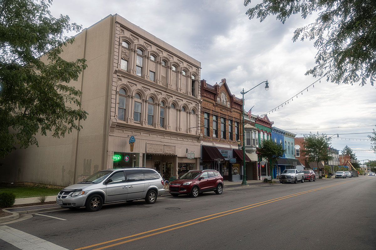 Downtown Union City, 2022.
There’s no agreed upon definition of East Central Indiana. The East Central Indiana Regional Partnership, an organization dedicated to marketing the assets and resources of nine counties, defines the ECI region as Blackford, Delaware, Fayette, Grant, Henry, Jay, Randolph, Rush, and Wayne Counties. The Indiana Business Research Center at IU's Kelley School of Business identifies ECI as encompassing six counties: Blackford, Delaware, Grant, Henry, Jay, Madison, and Randolph counties. The ECI Regional Planning District, a “state designated, multi-county regional planning district whose mission is to serve the economic development, planning and grant development needs of Delaware, Grant, and Blackford counties and the City of Portland.” Indiana’s Department of Workforce Development defines 11 Economic Growth Regions (EGRs). Region 6 - Eastern includes the counties of Blackford, Jay, Delaware, Randolph, Henry, Wayne, Rush, Fayette, and Union.
Some organizations like Second Harvest Food Bank define ECI as Blackford, Delaware, Grant, Henry, Jay, Madison, Randolph and Wabash counties, while the East Regional Tourism Marketing Cooperative boasts a whopping total of 25 member counties.
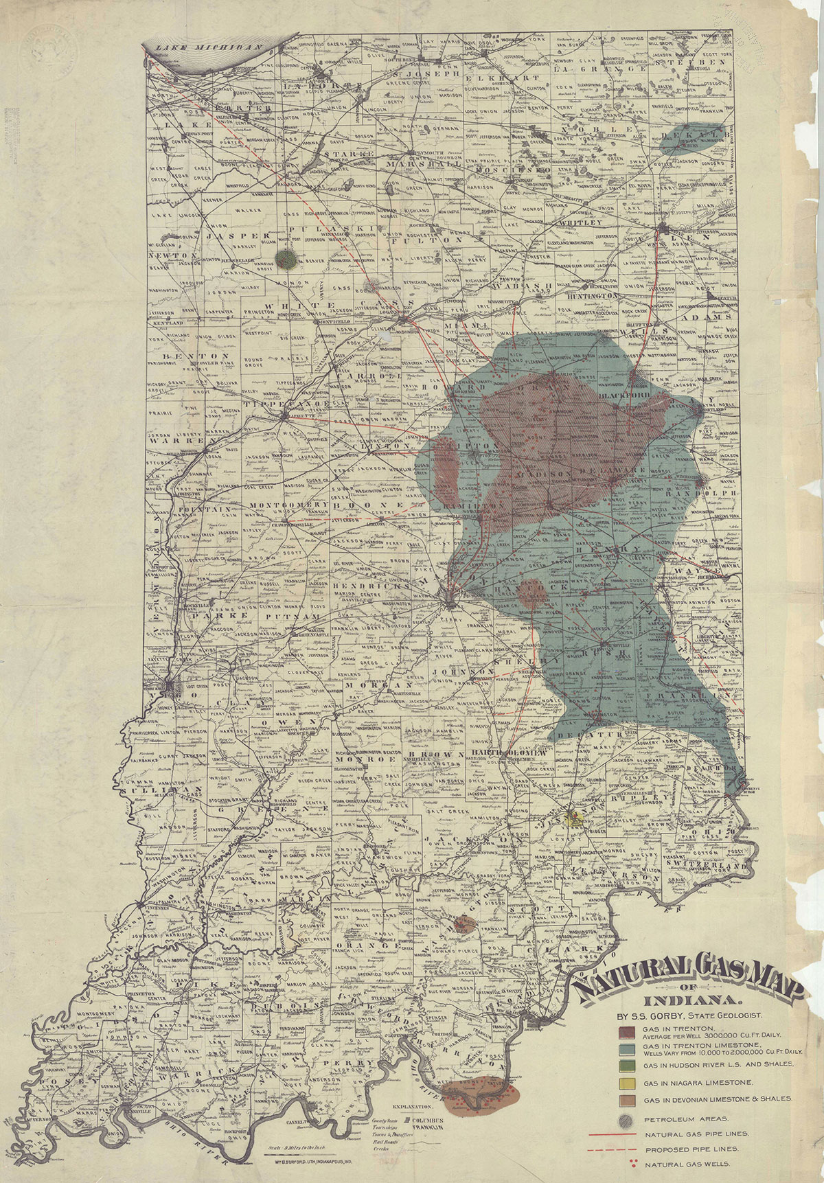 The Trenton Oil and Gas Field. Image courtesy of Ball State's Bracken Archive and Special Collections.
Historically, the 'Gas Belt' region comprised much of what we may now think of as East Central Indiana. During Indiana's Gas and Oil Boom (1886-1910), the Gas Belt encompassed Kokomo, Marion, Hartford City, Portland, Muncie, Anderson, Noblesville, and Tipton. Even after the fuel was spent, the region remained connected through passenger and shipping railroads, the electric Interurban, and state highways
Compounding all of this is Wikipedia’s entry for East Central Indiana. The Wikipedia entry defines ECI as Blackford, Delaware, Hancock, Henry, Jay, Madison, Randolph, and Wayne counties. The article has been amended by many editors since its creation in 2006. However by 2007, editors had added all eight counties that the article defines as ECI. It hasn't changed since. The Wikipedia definition is no less official than any other arbitrary definition, but its influence shouldn’t be overlooked. To put it another way, since 2007, many people googling ‘East Central Indiana’ probably clicked on the first result, which is the Wikipedia article, and may have formed their understanding on what constitutes ECI from that.
Succinctly put, East Central Indiana is an arbitrary concept with no agreed upon definition. ECI is probably then best understood as an informal concept, a ‘de facto’ region. All definitions generally agree that ECI, as a region of state, is to the east and northeast of Indianapolis, but outside of the Circle City’s immediate influence.
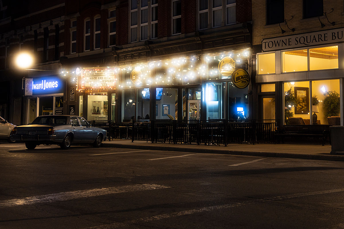 The Randolph County Courthouse Square in Winchester at night.
Thriving ECI takes a different approach in defining East Central Indiana, one less structured on precise geographical boundaries. This project defines East Central Indiana as a network of cities, towns, villages and hamlets, all linked together through history, agriculture, economy, energy, geography, and transportation. The region’s population centers, both urban and rural communities, drive ECI’s growth and change.
Thriving ECI considers the region’s northern communities to be Marion/Gas City/Jonesboro, Hartford City, Montpelier, Bryant, and Portland; eastern settlements along the Indiana-Ohio border from Portland south to Richmond; southern communities from Richmond to Connersville to Rushville; and western settlements running from Rushville to Knightstown, Middletown, Anderson, Elwood, and then north to Marion.
Counties include Grant, Blackford, Jay, Randolph, Delaware, Madison, Henry, Rush, Fayette, and Wayne. ECI's principal cities, towns, and villages are linked in a hub-and-spoke connection from rural to urban. The communities holding the region together as a network principally include: Marion, Gas City/Jonesboro, Fairmount, Hartford City, Portland, Dunkirk, Albany, Winchester, Muncie, Selma, Alexandria, Elwood, Anderson, Knightstown, Spiceland, Rushville, Middletown, Mount Summit, Daleville, Yorktown, Farmland, Connersville, Hagerstown, New Castle, Cambridge City, Richmond, and Fountain City.
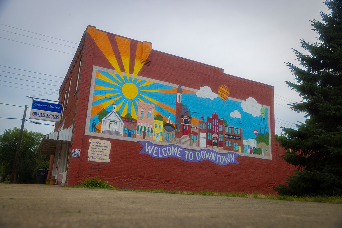 Albany, Indiana in 2022.
East Central Indiana has many strengths, but it’s the network of decentralized communities that sets us apart and makes us strong. Some regions in Indiana are dominated by a single city or a major metropolitan area (Ft. Wayne, Indianapolis, Louisville, and so on), but ECI is unique in that the communities share importance with different amenities, rich histories, growing economic diversity, and distinct cultural traditions.
The Thriving ECI series is a partnership between Ball State University’s Department of Media and the Ball Brothers Foundation. If you have questions or comments, contact the project’s director Chris Flook at: caflook@bsu.edu.